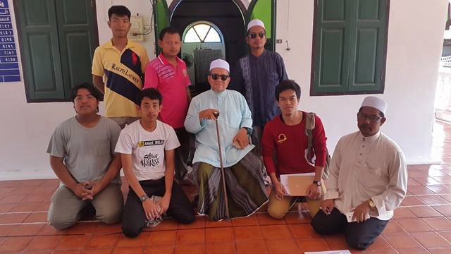
May 5-6, 2017 To find and display the Google Maps coordinates (longitude and latitude) of historic sites around the 17th century Patani town (Kampung Kersik and Bana). Masjid Kersik - the site where the Palace (Kota raja) located including ancient brick well - The city gate (Pintu Besar) - The old Road - The port area - The site where The Dutch Warehouses located (Gedong Belanda) - Telaga Shyeik Daud - Telaga Hang tuah, The western moat connecting The Kersik ang Perigi river - The site where the first Pondok in Patani located.
 Pictures Gallery
 โรงเรียนมูลนิธิอาซิซสถาน
Steptenber 2012 JA Teamplate
 โรงเรียนมูลนิธิอาซิซสถาน
Steptenber 2012 JA Teamplate